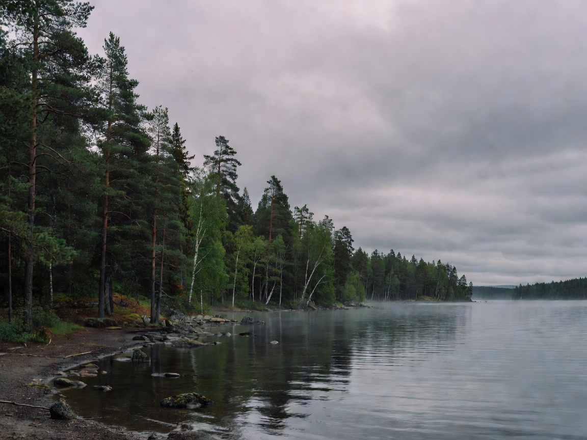
“Remote” can describe distance from a town, a rough approach road, low service coverage or simply a cabin screened by trees. These are different conditions. No single label tells you how long the journey takes, which services are nearby or whether a route suits your vehicle. Use location descriptions as a prompt to ask specific questions. This guide covers general considerations and does not identify or verify individual accommodation.
Read the landscape, not just the map pin
Dense conifer forest can offer shelter and a strong sense of enclosure. Birch stands may feel more open, with changing light through the trunks. Lakes, wetlands, slopes and exposed clearings create different views and weather conditions. Terrain also affects walking routes and drainage. A map can show broad features, but it may not explain whether the cabin sits on a slope, near standing water or on an exposed shore. Ask for a clear description of the immediate surroundings and arrival route.
Forest density influences sightlines, shade and wind exposure, but it does not guarantee privacy. Buildings may share a driveway, shoreline, trail or service area. Tree cover can also change seasonally and through forestry work. If visual separation matters, ask how neighbouring structures and public routes relate to the cabin. Avoid interpreting a photograph taken from one angle as evidence of complete seclusion.
Road access and seasonal changes
Road type matters more than a broad distance figure. Confirm whether the final approach is paved, gravel, narrow, steep or maintained by a private party. Ask who is responsible for clearing snow and whether the access route is usable in the season you plan to travel. Conditions can change after precipitation or freeze-thaw cycles. A route that is straightforward in summer may require more time, suitable tyres or a different vehicle in winter.
Check the full route, including the last turn and parking area. Download or prepare offline navigation if service may be limited. Carry the accommodation’s arrival instructions in a format that remains available without a connection. Fuel planning should include known service points along the route; do not assume that a station, shop or charging point is open late or close to the destination. Confirm details independently before departure.
Distance from services and connectivity
Estimate how far you will be from groceries, pharmacies, medical services and fuel. Travel time can differ from map distance when roads are slow or weather is poor. If a stay includes cooking, identify what food and household supplies are provided and what you need to bring. Remote locations may have fewer convenient alternatives if an essential item is forgotten. Keep emergency contacts and directions accessible, and follow local instructions for urgent situations.
Mobile coverage varies with terrain, network and device. Forest, hills and building materials may affect reception. Treat coverage maps as estimates rather than guarantees. If you depend on connectivity for work, medical communication or navigation, ask the accommodation contact about known limitations and make a backup plan. Do not assume a Wi-Fi description means a particular speed, uptime or mobile signal.
Benefits and trade-offs
Less developed settings can offer a stronger sense of landscape, fewer nearby buildings and direct access to outdoor space. They may also mean longer drives, fewer services, variable communications and greater dependence on advance planning. A lakeside position can feel open but may be exposed to wind or insects. A cabin deep among trees can offer shelter while receiving less daylight. The right setting depends on mobility, transport, comfort and how much independence you want.
Key considerations
- Confirm the last road segment, parking conditions and seasonal maintenance.
- Check actual travel times to essential services and fuel.
- Ask about connectivity without treating it as a guarantee.
- Clarify shared access routes, nearby buildings and public paths.
- Plan for offline directions and variable arrival conditions.
Good for
This guide is useful for travellers weighing a remote setting against convenience, people planning winter access, and anyone who needs reliable transport or communication arrangements. It also helps set realistic expectations around privacy and nearby services.
What to check
Request route details, road-maintenance information, parking guidance, nearby service options, connectivity notes and arrival instructions. Do not assume a precise property location or current accommodation listing from general landscape information.
Related guides
Review winter access and cold-weather preparation, privacy and responsible nature use, and transport and arrival planning.